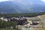
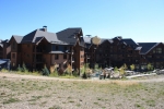
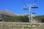
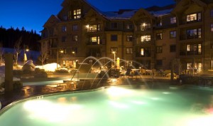
Stayed at Grand Lodge Peak 7
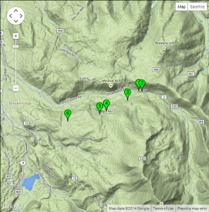
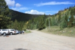
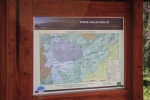
1: N39 29.181 W105 58.837 — 0.00 miles: French Gulch Trailhead
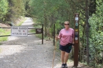
2: N39 29.168 W105 58.744 — 0.1 miles: Bear right thru gate – Marker 2651
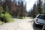
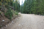
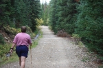
3: N39 28.961 W105 59.166 — .75 miles: Hiking fire road thru forest
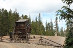
4: N39 28.714 W105 59.786 — 1.45 miles: Sallie Barber Mine – max elevation 10,728′
5: N39 28.649 W105 59.972 — 1.8 miles: Old wooden gate – stay straight on road
6: N39 28.494 W106 00.911 — 2.8 miles: End of trail at Sallie Barber Road
French Gulch Road to Sally Barber Mine 2.9 miles round trip
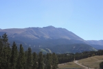
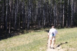
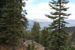
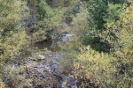
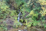
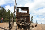
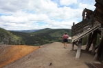
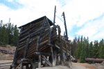
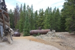
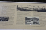
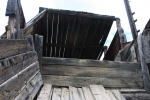
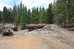
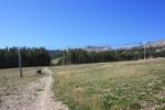
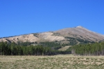
The Sallie Barber Mine is located on the south rim of French Gulch on Barney Ford Hill. The Breckenridge Daily Journal claims the Sallie Barber Mine was established in 1880 by a group of Bald Mountain miners, while The Mining Directory of 1883 shows it was opened in 1882 by G.T. Metzger, a Breckenridge resident. Both accounts agree it was a small but long-time producer of zinc and other minerals, and an important part of Colorado’s Gold Rush era. The mine site has multiple interpretive signs describing its occupational and operational history, and much of the original mining equipment is on display.From the trailhead, follow French Gulch Road .1 miles north to a split for Sallie Barber Road – Marker 2651. Bear right downhill through the metal forest service gate, shortly past which the trail – now a groomed service road – crosses a creek, makes a hairpin turn north and climbs toward the mine. Snowcapped peaks to the west emerge through a healthy pine forest as you gain elevation. The trail itself is rather uneventful until cresting in a clearing at the Sallie Barber Mine and Historic Site (1.45 miles : 10,728′).
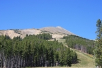
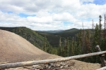
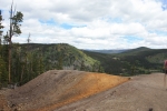
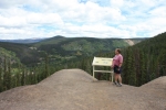
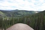
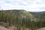
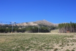
Sensational panoramas from the site include Mineral Hill (10,891′), Brewery Hill (11,370′), Humbug Hill (11,031′) and Farncomb Hill (11,337′). The trail continues past the mine, descending 1.35 miles through a mixed pine forest to the end of Sallie Barber Road (2.8 miles : 10,440′).


 You must